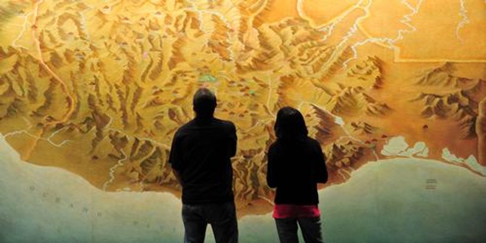
When you want to have the best idea of what a particular stretch of land looks like, topographic surveys provide the most accurate details. These assessments help create two-dimensional maps that illustrate the elevations, dimensions, and position of various natural and man-made features. But while this data is incredibly captivating and useful for land development, there are a few little-known facts about these maps. Here, the surveying team at Ferguson & Foss Professional Land Surveyors in Johnstown, NY, reveals some fascinating information about these surveys.
What to Know About Topographic Surveys
1. American Expansion Accelerated Topography
Basic land surveying has a long history that can be traced back to Ancient Egyptians. There are even a few Roman maps that showed elements of geological illustration. But for the most part, topographic maps are a relatively recent breakthrough.
This mapping technique took off in 1884 when geologist John Wesley Powell convinced the U.S. Geological Survey to adopt the technology to map out the ever-growing United States. Relying on point measurements, tape, and compasses, land surveyors could create a variety of maps that illustrated how big the country was.
2. Some Maps Are out of This World
 Topography is an ideal way to learn more about our Earth, but this imaging technique isn’t just limited to depicting our planet. Using data collected from scientific research, specialists have created topographic maps of various bodies in the solar system, including planets and the moon. The results are used to give researchers a more realistic depiction of what these bodies look like and may even be used to plan future space exploration missions.
3. The Production Process Can Be Lengthy
Standard land surveying is often completed within a few days, whereas topographic surveys can take a year or longer, depending on the size of the land and the details needed. This long process involves several steps that include aerial photography, verification of features, and extensive data compiling.
Given that topographic maps require such a significant amount of detail, hiring the right professionals for the job is critical when you’re launching a new construction or development project. Fortunately, builders in Johnstown can receive a high level of accuracy when they work with Ferguson & Foss Professional Land Surveyors. These experts offer a wide variety of streamlined surveying services, including topographic surveys, and will work with you through every step of the process. Visit them online for more information or call (518) 762-9997 to speak about your upcoming project.
About the Business
Have a question? Ask the experts!
Send your question

